The Client
Launched in 2017 with the approval of Northeastern University’s Board of Directors, the Global Resilience Institute (GRI) is the world’s first university-wide institute to respond to the resilience imperative.
The institute launched the Global Resilience Research Network (GRRN) with the participation of 30 universities and research institutes from 16 countries around the world.
This collaborative research and educational community share a common commitment to work in close partnership with industry and public entities in developing and deploying practical tools, applications, and skills that bolster the resilience of individuals, communities, critical systems and networks, and societies.
The Challenge
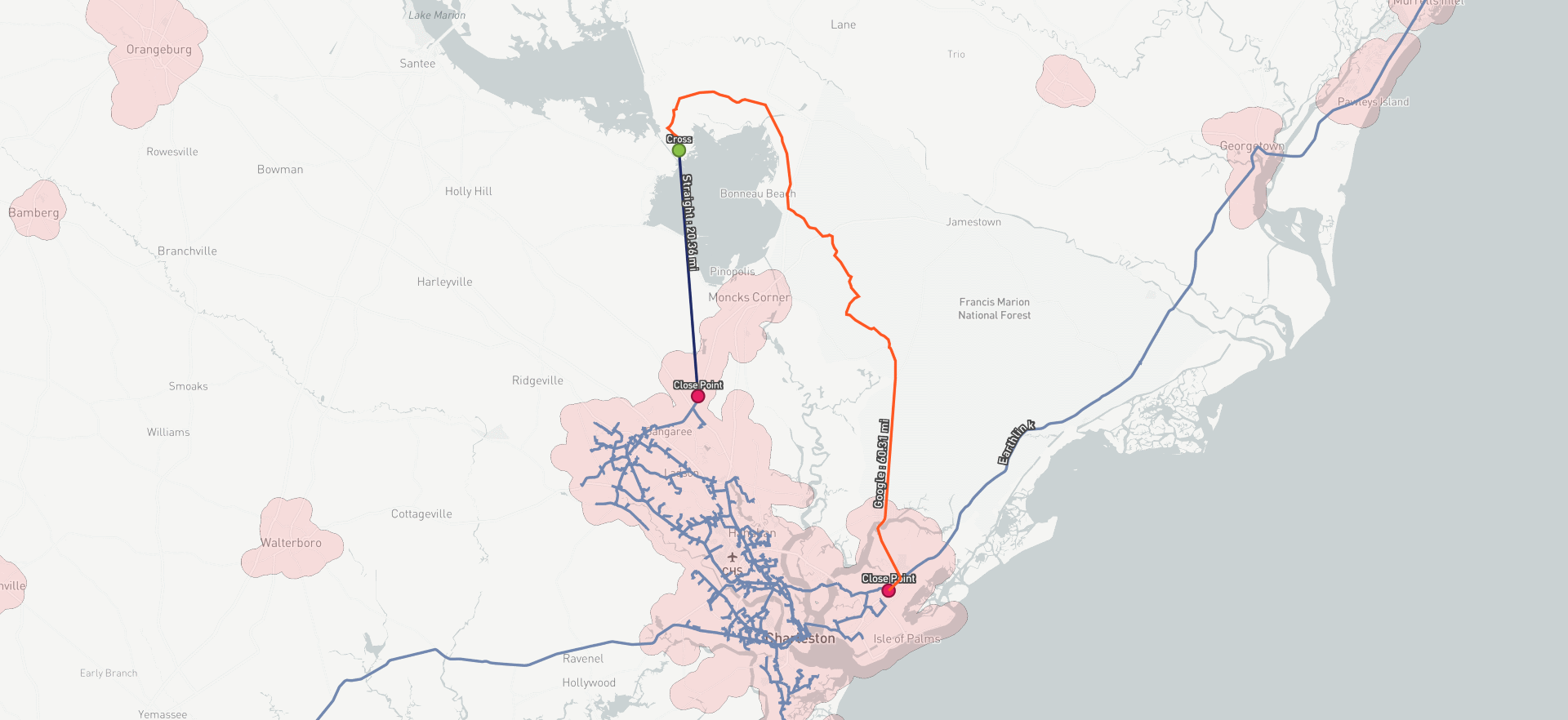
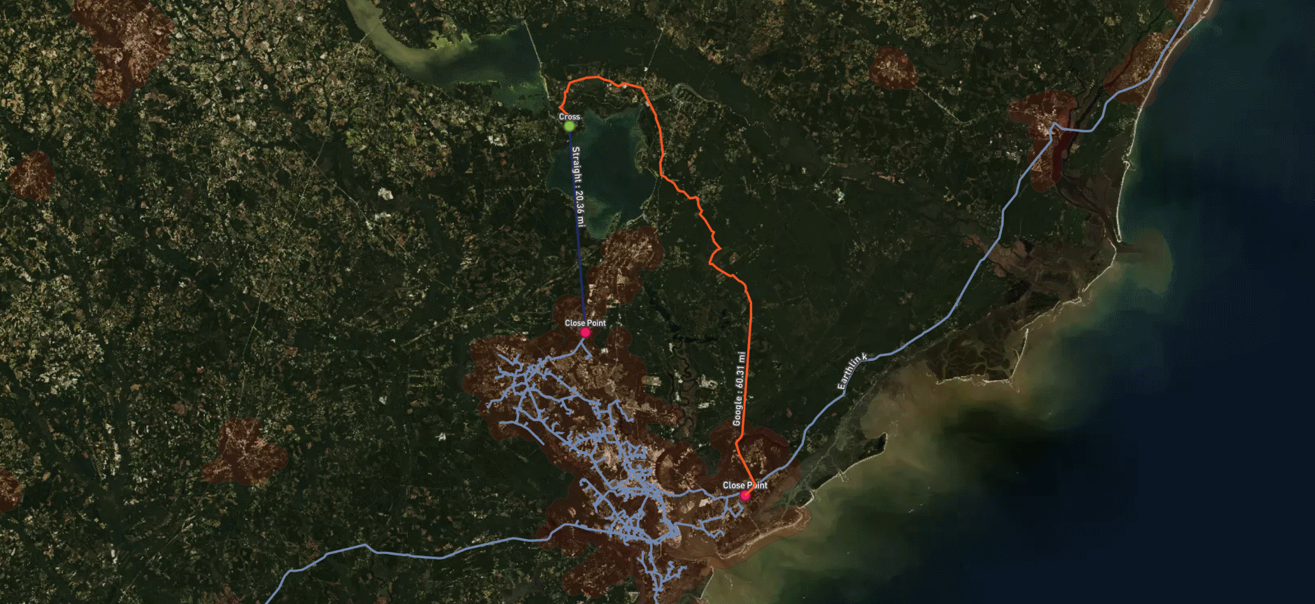
There are various, local/regional dark fiber networks owned by utility companies. GRI is currently doing a risk assessment and vulnerabilities study of the physical infrastructure of the internet in the U.S.A. and is compiling recommendations for the Federal government with regards to creating or establishing a national fiber network for utility companies.
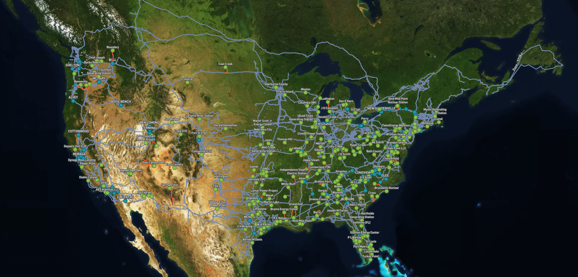
Infrapedia was presented with the mission to provide a solution to the need for graphics of generator and substation sites with existing dark fiber network routes, in order for the GRI to have the necessary data to be able to make recommendations with regards to the resiliency of the U.S.A.’s critical infrastructure.
Our Solution
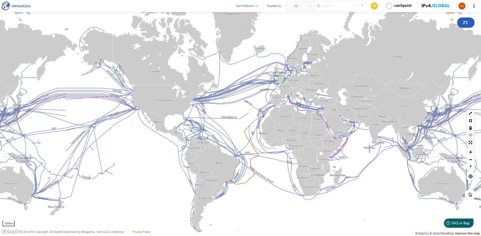
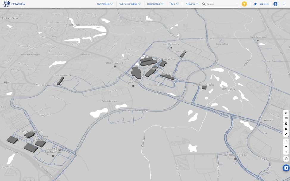
Infrapedia has one of the most comprehensive data set and maps on the long-haul fiber routes publicly available. GRI has chosen Infrapedia’s Custom Map services in order to utilize the data set and combine it with its own critical infrastructure data sets. Infrapedia engineers and consultants have utilized their expertise in developing advanced algorithms to:
- Calculate the distance to nearest terrestrial networks and critical infrastructure power plants and substations,
- Analyze and calculate the new build infrastructure lengths based on population density,
- And generate high-resolution graphics for future analysis by GRI.
The Result
The solution provided by Infrapedia has allowed GRI to:
- See the availability and location of dark fiber across the U.S.A.,
- See how dark fiber routes overlap, or closely overlap, with critical power infrastructure and assets,
- Support the institute in estimating the cost for new fiber builds from main dark fiber trunk routes to the critical infrastructure locations.
Rob Knake, Senior Research Scientist Cyber Resilience, GRI: “Infrapedia was the only company that had the data we needed and the GIS skills to use it.
They were able to develop a proposed route structure for our network that would use existing dark fiber to the greatest extent possible and calculate optimal pathways for new fiber routes from this core network to the identified infrastructure.”
This example is just one of the ways Infrapedia can help your organization better achieve your goals regardless of the project you’re working on. Our team of experts is at your service to provide assistance with:
- Consultancy services for your connectivity needs
- Infrastructure procurement
- Custom map, GIS and Software development
- Marketing and communications
If you don’t see what you need on this list, please contact us and let’s see how we can help!